Predicting floods before they happen
July 20, 2017Newaygo County Emergency Services
In 2014, the Muskegon River swelled to one of its highest levels on record, damaging hundreds of local homes. The remarkable speed at which the water rose revealed the vital importance of quick warnings.
Now, with support from federal, state, and local partners, Newaygo County is getting a new flood warning system. Using the United States Geological Survey (USGS) Flood Inundation Mapper System, it will help predict the location and severity of flood threats before they happen.
An important step in the complex project was to install USGS-operated river gauges to monitor the 35 miles of the Muskegon River in Newaygo County. Previously, local data and warning information came from just one gauge in Croton. A grant from the Community Foundation funded two more in Bridgeton and Newaygo.
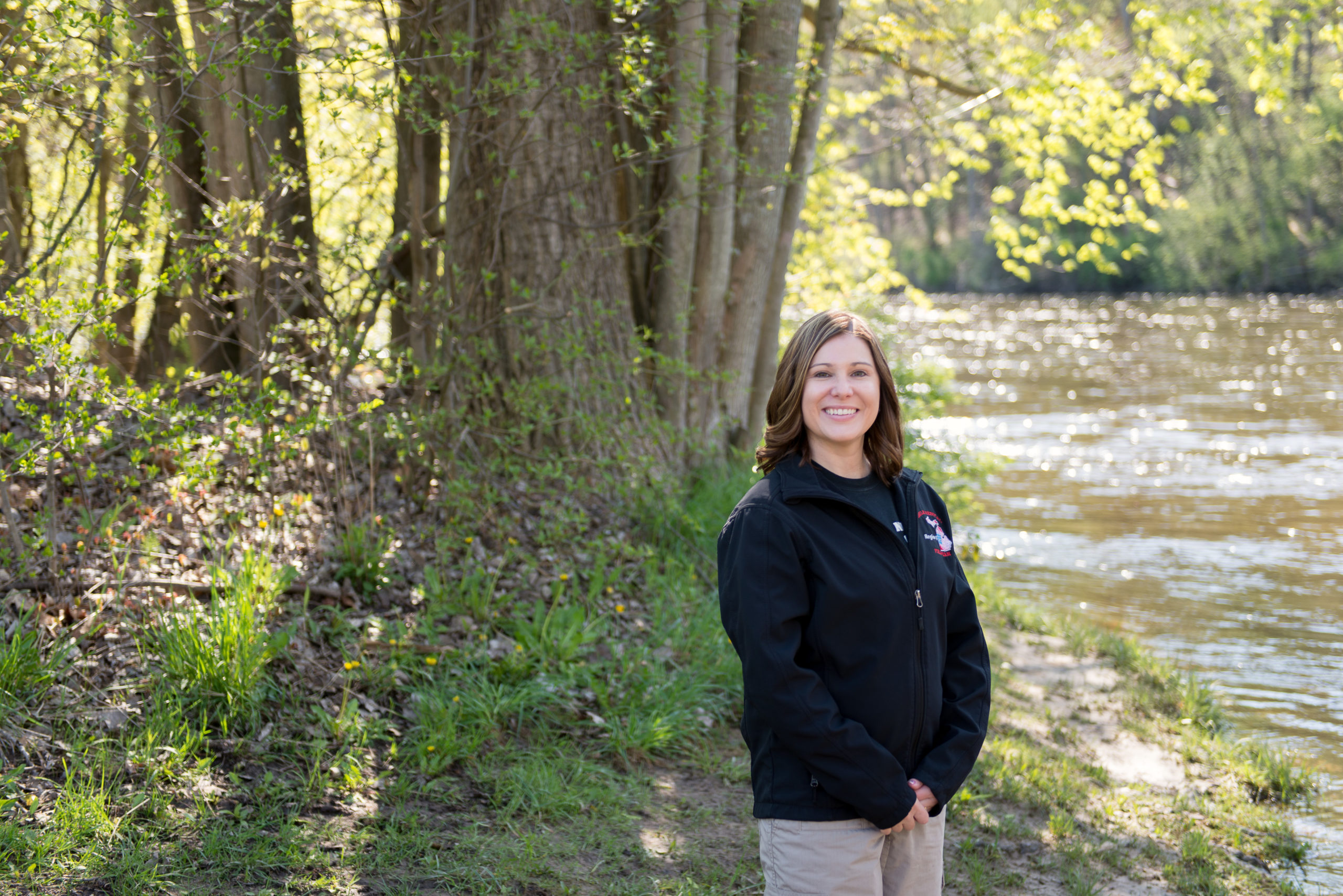
“When complete, this will be a live warning and advanced planning tool,” said Abby Watkins, director of Newaygo County Emergency Services. “We can put more data in homeowners’ hands to understand risks and give faster, more accurate warnings.”


